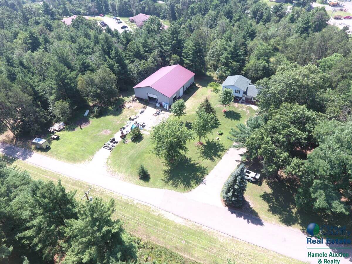
Today we hooked up the drone and flew it around the property to get some great aerial pictures of the property. This is a great way to show clients the entire property In real time vs looking at a GIS map.


Today we hooked up the drone and flew it around the property to get some great aerial pictures of the property. This is a great way to show clients the entire property In real time vs looking at a GIS map.