
The first week consisted mostly of getting familiar with the front end work of an appraisal report (property info, tax info, zoning). One of my main tasks is the create exhibits of the property so they can implement those exhibits in the report so the reader can have a clear picture of what the property looks like and where it is located. During an inspection the appraiser tours the land or property and takes pictures. My job after is to create mapped exhibits of the property with the help of Bing Maps. My struggle came with finding the properties or land in a zoning map. After a week of searching through different counties zoning maps I can finally say I’ve got the hang of it and I have noticed a huge improvement on the amount of time I take to find the property. Starting this week I am also finding myself more comfortable with different Geographical Information Systems (GIS), is a system designed to capture, store, manipulate, analyze, manage, and present spatial or geographic data, when searching for tax/parcel maps.
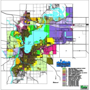
[On the top of the page is an example of zoning map of Menomonie, WI.
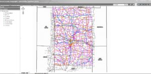
Below is Dunn County’s GIS map.]